Fish Island is an area that was called Old Ford, it comprised the main marshland which during medieval times was the main crossing between London and Essex. The 12 century also saw the development of the Bow Back Rivers and other bridges in the area which helped to divert issues.
In the 1200s King John is recorded to have stayed in Old Ford after signing the Magna Carta. Attempts at trying to make a canal near the area started In Elizabeth 1st reign. In the 17th C Samuel Pepys made a record of a couple of time that he visited Old Ford.
On the doorstep of Stratford
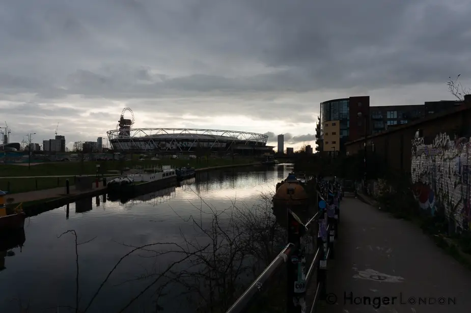
The original meaning of Stratford was “a paved way to a ford.” the first mention of the small town was about the year 1177 (Straetforda). The area was best known for potato production before moving away from farming towards industrialisation from the 1700s. Today Stratford is now known as the site of the London 2012 Olympics. One thing you cannot miss with the area round Stratford are the rivers and water ways. Fish Island is below Stratford, bordering the Queen Elizabeth Olympic Park on one side and the river Lea and the train tracks on the other side. Taking the train into Stratford, you are indeed rolling past Fish Island.
Old Ford, London Borough of Tower Hamlets, England, United Kingdom
London Borough of Tower Hamlets, England, United Kingdom
The Roman Road to Fish Island
The main Roman road from Colchester coming into London, would cross the River Lee at Fish Island, that is a heavy concentration of traffic over the Roman period of occupation as the main passageway between Essex and London, indeed much of thee archelogy in the area dates from the 4th and 5th century. Following the end of the Roman occupation, Fish Island appears to disappear for 500 years, only to pop up again in the doomsday book of 1086, to be listed Old Ford, in the manor of Stepney. Infact the name Old Ford still sits on the map today.
Industrial Changes to Old Ford, Tower Hamlets
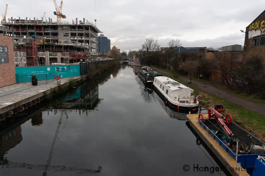
They made several canal cuts through the marshland banks of the River Lea, late 1800s and into the 1900s. The Hackney cut (1768-9) and the Hertford Union canal (1830) provided access and therefore could enable trade. Between London, Essex and the Docks. By 1830 John Greenwood had created maps of London which included fish Island.

Railways, Locks, and roads named after Fish
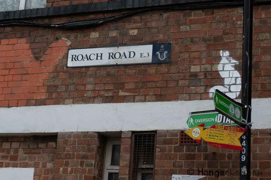
The North London Railway East-West Branch came in the 1850s and 1860s. 1903 saw an upgrade of Old Ford with a double Lock. Kentish Ragstone lined the edge of the canal from Hackney Wick to Old Ford which locals then called “The Island “and later “Fish Island” possibly because of the names of the other roads around their Roach, a type of fish, Beachy road. Many of the roads got bombed during WW2
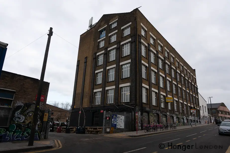
The Reason its described as an Island is that it is surrounded by the River Lee Navigation, the River Lea, the London Overground railway, the Blackwall Tunnel approach A12. Part of this Island contains buildings from the Industrial Revolution, Victorian era. 1870s Maps show the industrial buildings.
Types of works found in the area.
Printing works, waterproof cloth, Varnish works, Tar, Dyeing, chemical works, a confectionary. The Clarnico jam factory, pianoforte, starch works, Ironworks, paper works, Coal depot to name but a few.
Many of the original buildings stood the test of time, as it is now a conservation area and of interest as a regeneration site. The land was hot property even in 1865 The Gas Light & Coke company bought some land in Old ford but thankfully did not convert it all to gasworks, but housing and industrial buildings.
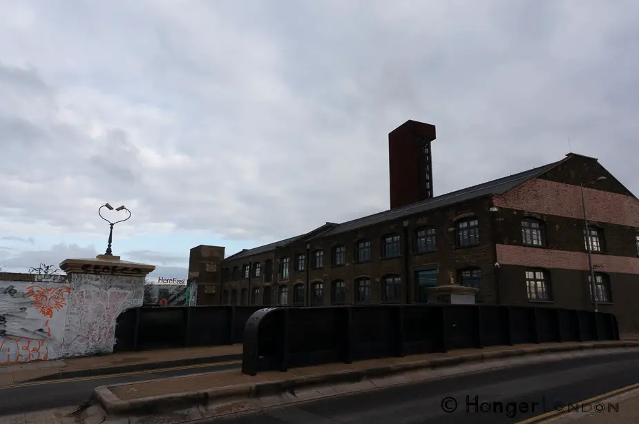
Industrial upside
At the time the people living on the island were becoming isolated in a different way, trapped behind industrial fumes, many which were toxic, the railway pollution the main way in and out of the area was by a canal. Previously it had thriving watercress and Eels that helped the community.
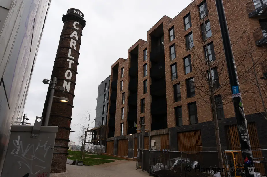
Chemical pollution, drew a close to this because it was no longer than safe for consumption. Industrial isolation leads to poverty and crime. They documented this area as one of the poorest areas in the East End. As can be seen on the Booth Poverty Map of 1889.
Putting something back into the community in Fish Island
The community came up with ideas of religious and educational intervention. This legacy of supporting the community, is pretty much what the area and places like Stour Space provide in the here and now. Social community events that enrich putting something back into the area and its people.
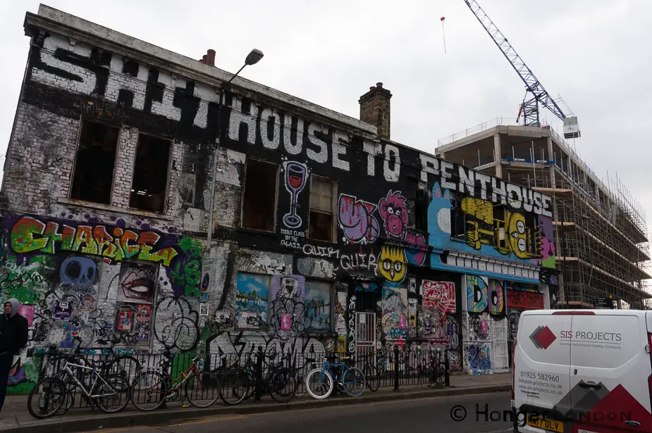
The photo of the pub with the graffiti on the top was a pawnbroker and off-license on Attley Road in 1898 (LMA)
